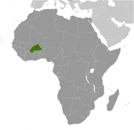
Burkina Faso
|
|
|
-The total land area is 273,800 sq km.
-The total area is 274,200 sq km.
-The total water area is 400 sq km.
-Burkina Faso is slightly larger than Colorado.
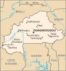
-Countries bordering Burkina Faso: Benin, Cote d'Ivoire, Ghana, Mali, Niger, Togo.
-The total distance of all land boundaries is 3,193 km.
-There is no coastlines.
-The climate is tropical, warm, dry winters, and hot wet summers.
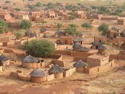
-The terrain is mostly flat to dissected, undulating plains and there are hills in the west and southeast.
-The lowest elevation is Mouhoun River at 200m.
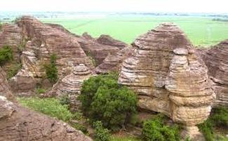
-the highest elevation is Tena Kourou at 749m.
-The total area is 274,200 sq km.
-The total water area is 400 sq km.
-Burkina Faso is slightly larger than Colorado.
-Countries bordering Burkina Faso: Benin, Cote d'Ivoire, Ghana, Mali, Niger, Togo.
-The total distance of all land boundaries is 3,193 km.
-There is no coastlines.
-The climate is tropical, warm, dry winters, and hot wet summers.
-The terrain is mostly flat to dissected, undulating plains and there are hills in the west and southeast.
-The lowest elevation is Mouhoun River at 200m.
-the highest elevation is Tena Kourou at 749m.
